


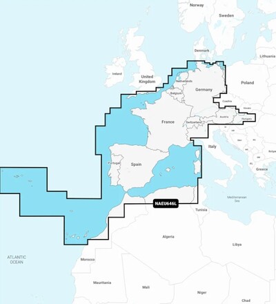
Garmin Europe & Central and West Water Charts
- Europe, Central and West water charts
- Supplied on microSD™/SD™ card
- Not compatible with Garmin chartplotters
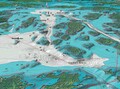
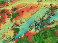
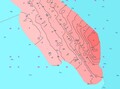
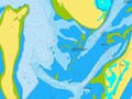
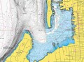
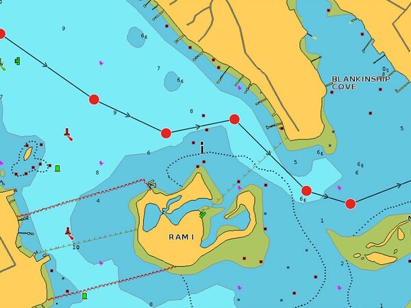
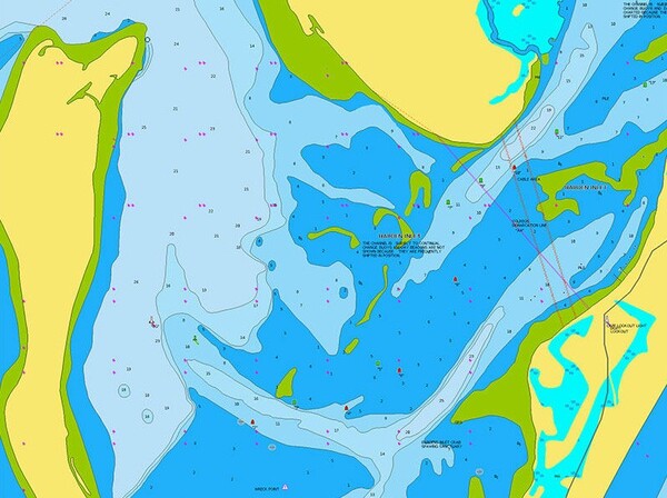
- Relief shading for a clear view of bottom structure
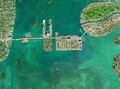
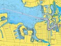
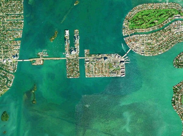
- High-resolution satellite imagery and crystal-clear aerial photos
- Unique 3D views for extra perspective above and below water
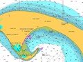
- Dock-to-dock route guidance technology for automatic routing
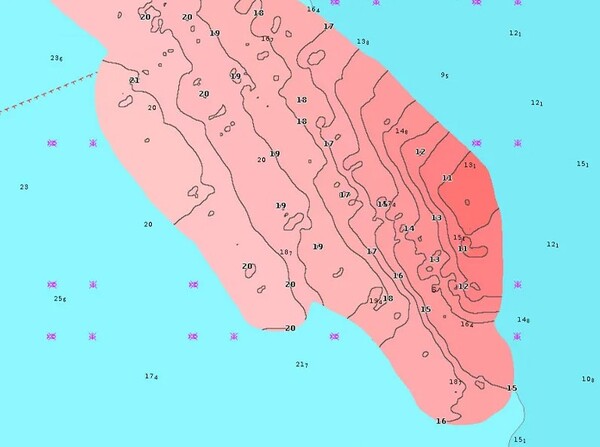
- Detailed bottom contours accurate to 0.5 meters
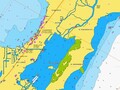
- Advanced chart options to mark shallow areas or fishing spots
- Access to local knowledge via Community Edits and the Navionics Boating app
- Wireless plotter synchronization for transferring routes and markers
- Create real-time maps while boating with SonarChart™ Live
- Includes a 1-year subscription to daily updates via installation software
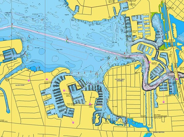
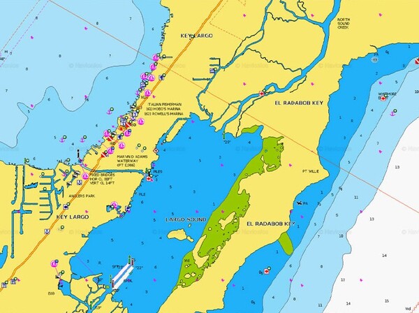
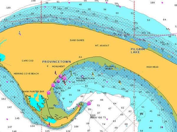
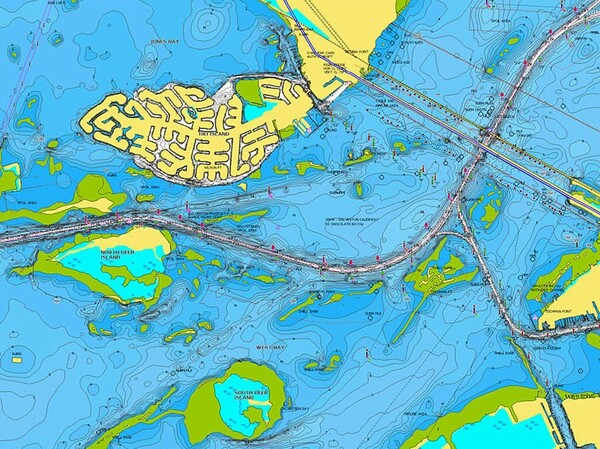
The Garmin Europe & Central and West Water Charts provide the ultimate underwater knowledge for anglers who want to get the most out of their boat fishing in Europe. Supplied on a microSD™/SD™ card, this chart delivers unmatched bottom structure detail thanks to precise contours down to 0.5 m, relief shading, and impressive 3D views. With advanced features such as high-resolution satellite imagery, automatic dock-to-dock route guidance, and SonarChart™ Live for creating real-time custom maps, you can locate the best fishing spots faster than ever and effortlessly avoid shallow areas. Thanks to wireless plotter synchronization, Community Edits, and an included 1-year subscription to daily updates, you are always assured of the most up-to-date data on the water. Please note: this chart is not compatible with Garmin chartplotters.


Fiskedeal uses cookies on the website. We do this to help you better and more personally. Want to know more? Read our privacy policy.
Accept all cookies