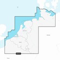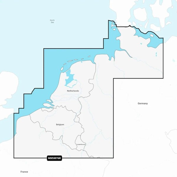


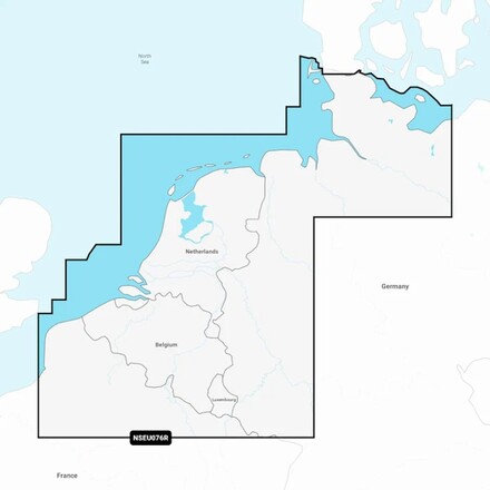
Garmin Benelux and Germany West Water Charts Navionics+
- Benelux and Germany West water chart
- Supplied on a MicroSD/SD card
- Not compatible with Garmin chartplotters!
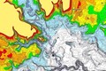
- With relief shading
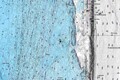
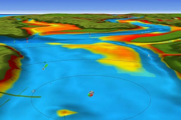
- High-resolution satellite imagery
- 3D FishEye and MarinerEye view
- Integrated Garmin and Navionics content
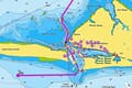
- Includes Auto Guidance+™ routing technology
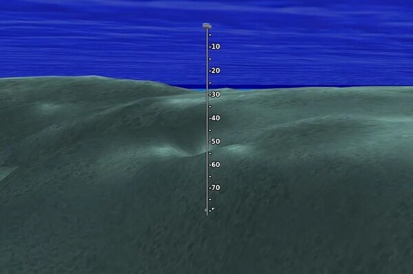
- Depth range shading adjustable up to 10 color segments
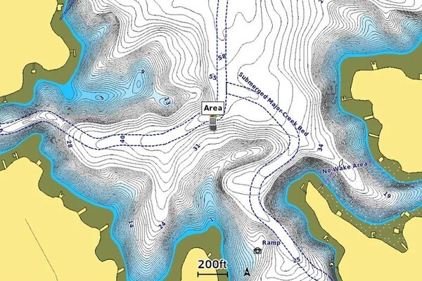
- Detailed depth contours accurate to 0.5 meter
- Shallow water shading to avoid shallow areas
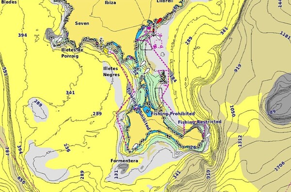
- Access to useful location data via the ActiveCaptain® community
- Seafloor area data for better anchoring and fishing locations
- Includes 1-year subscription to daily updates via the app
- Suitable for coastal waters, lakes, rivers, and inland waterways
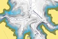
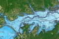
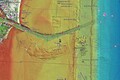
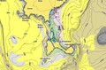
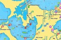
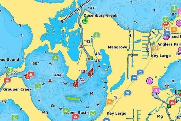
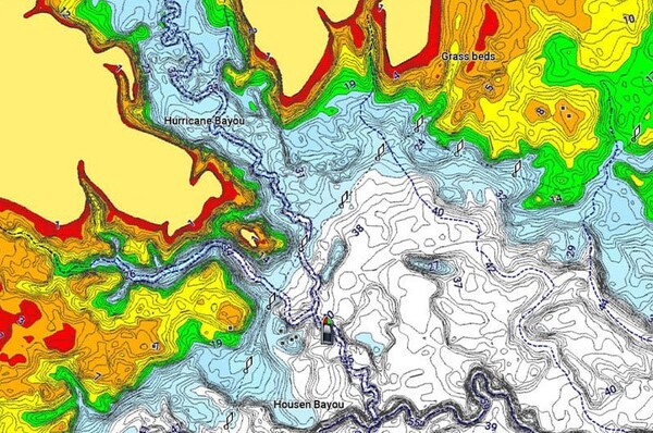
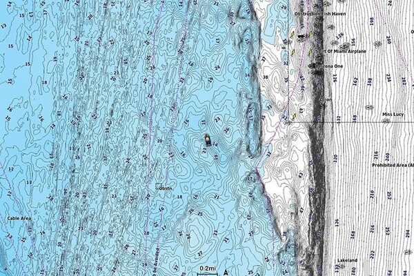
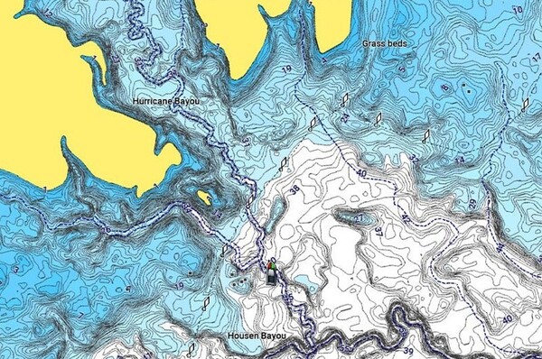
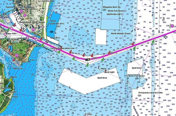
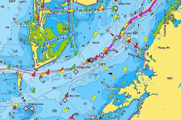
The Garmin Benelux and Germany West Water Charts Navionics+ provide the ultimate navigation and water knowledge for any angler on coastal waters, lakes, rivers, and inland waterways. Supplied on a convenient MicroSD/SD card, this chart combines detailed Garmin and Navionics content with depth contours accurate to 0.5 m, allowing you to effortlessly locate the best fishing and anchoring spots. Thanks to innovative Auto Guidance+™ routing technology and adjustable depth range and shallow water shading, you can always navigate safely and easily avoid hazardous shallows. With access to valuable location data from the ActiveCaptain® community and an included 1-year subscription to daily updates via the app, you will always have the most up-to-date information to take your fishing to the next level.


Fiskedeal uses cookies on the website. We do this to help you better and more personally. Want to know more? Read our privacy policy.
Accept all cookies